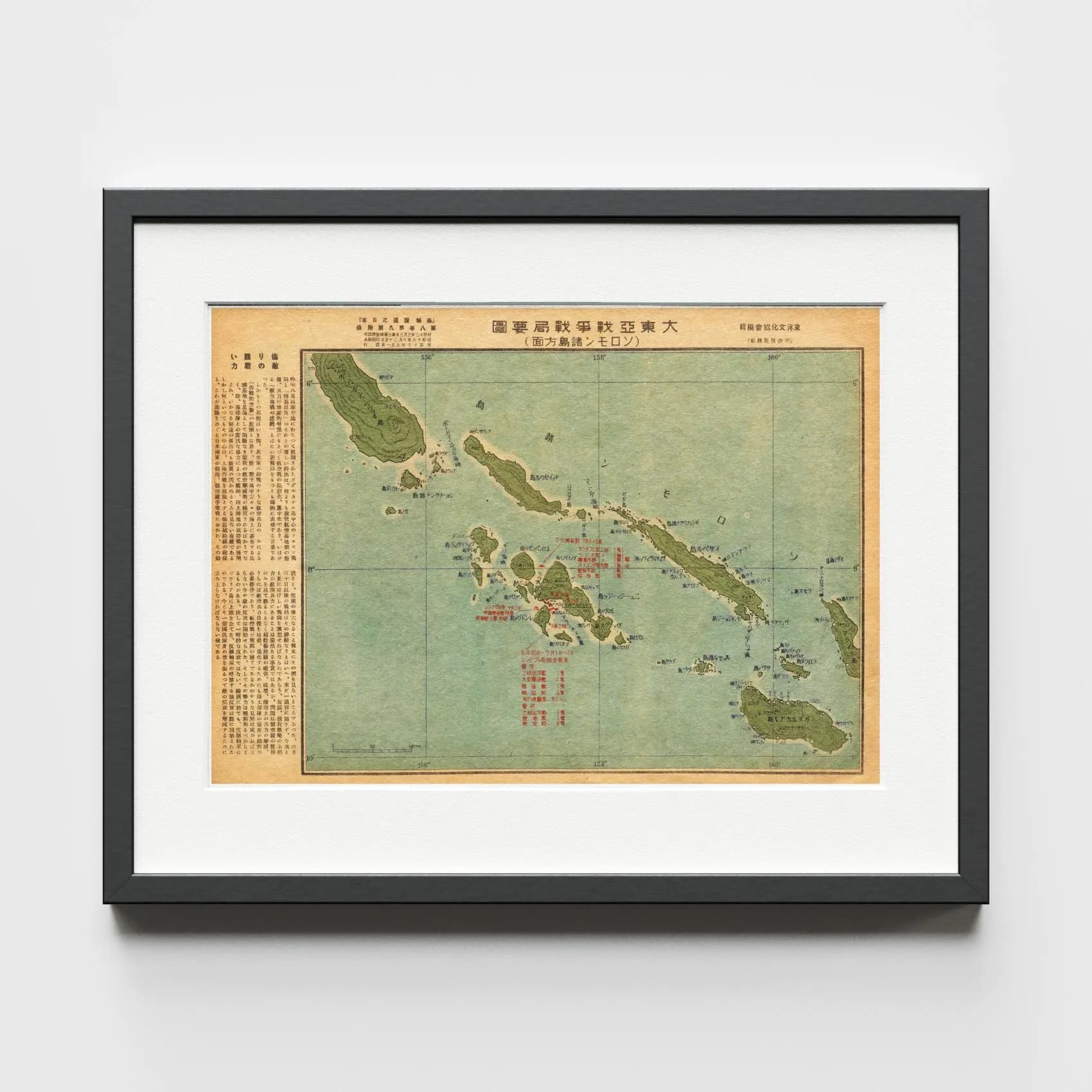
This vintage Japanese map charts the Solomon Islands campaign of World War II — the naval and air battles fought from August 1942 around Guadalcanal and up the Solomons chain. Published in a 1940s Japanese historical journal, it pairs annotated island geography with original Japanese-language commentary on the Pacific theater.
Key islands, battle zones, troop movements, air strikes, and naval engagements are marked across the map, alongside notes on air supremacy, maritime supply lines, and the fighting around Kula Gulf and Rendova Island in mid-1943. The annotations record Japan's evolving wartime strategy in the Pacific — a perspective rarely preserved in Allied-centred narratives.
This digital reproduction preserves the original colours, typography, and vintage texture of the journal page. For anyone drawn to WWII history, military cartography, or Japanese ephemera, it is a rare primary document — printable wall art that doubles as a piece of Pacific war history.